
SOLD!
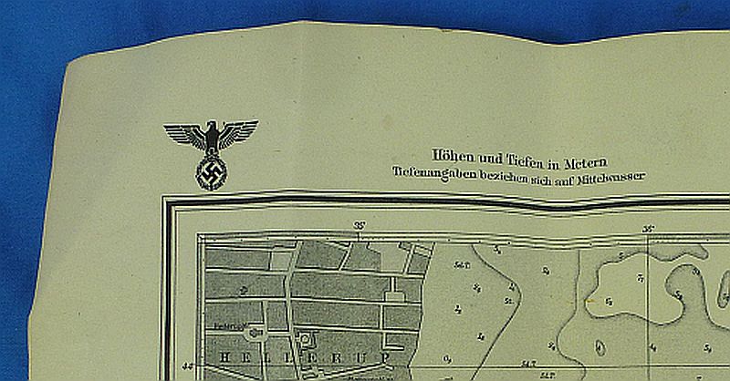
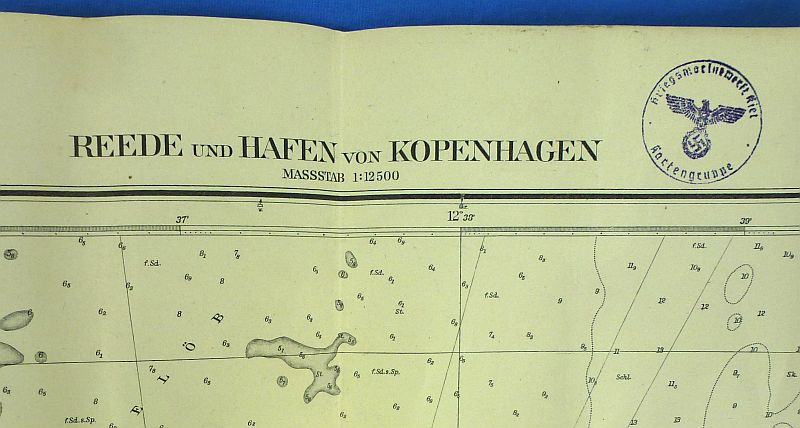
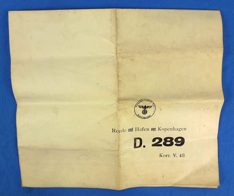
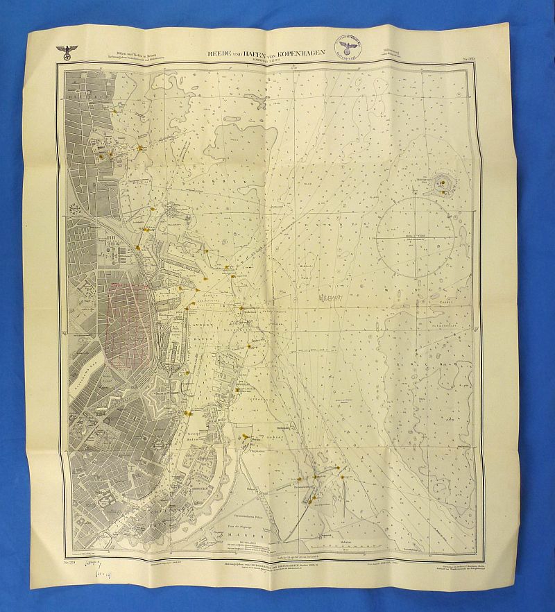
WWII Kriegsmarine Nautical Map of Copenhagen Harbor
$125.00
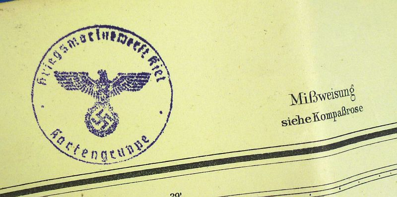
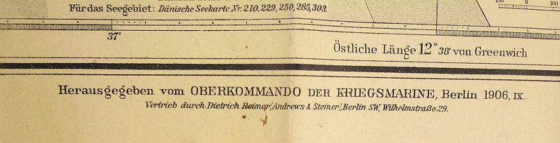
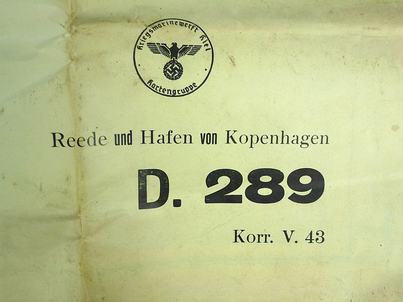
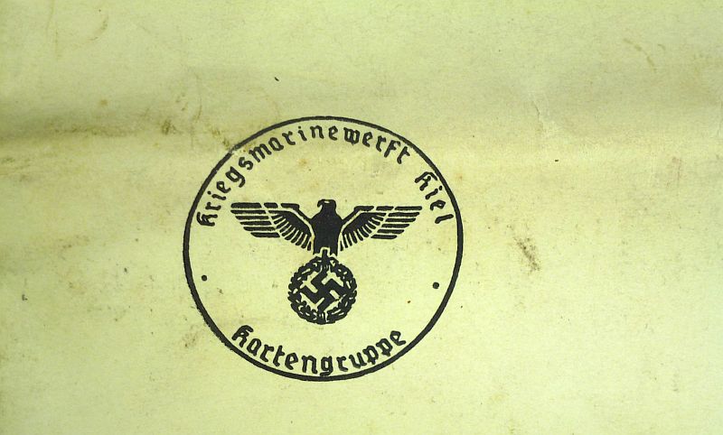
The map is approximately 24-3/4 inches by 28-1/4 inches, showing spots and age toning as well as typical fold lines. The map is a Kriegsmarine nautical chart titled “Reede und Hafen von Kopenhagen” (“Roads and Harbor of Copenhagen”), originally surveyed in 1906 and corrected in 1943 and issued by the Oberkommando der Kriegsmarine during World War II. The map bears official stamps of the “Kriegsmarinewerft Kiel Kartengruppe” (“Kiel Navy Yard Map Group”). Overall very good condition.
Sold!