
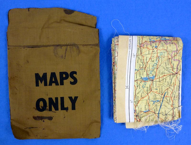
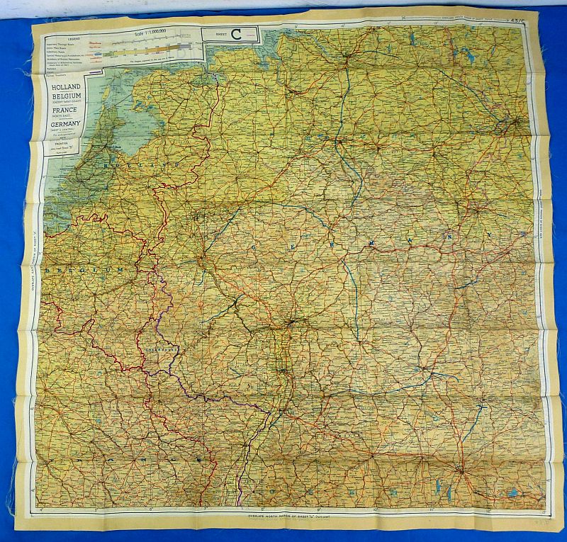
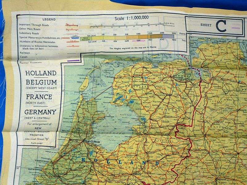
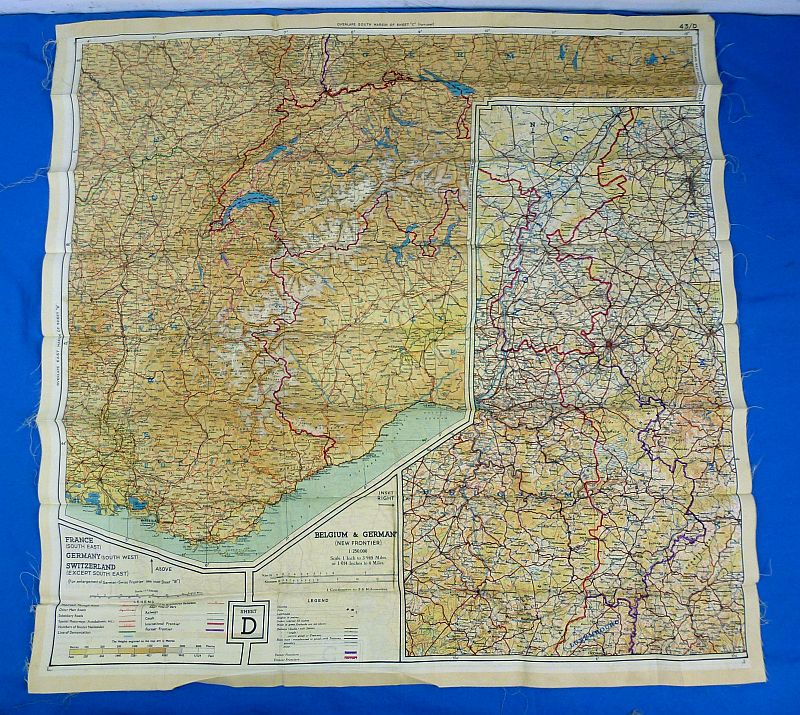
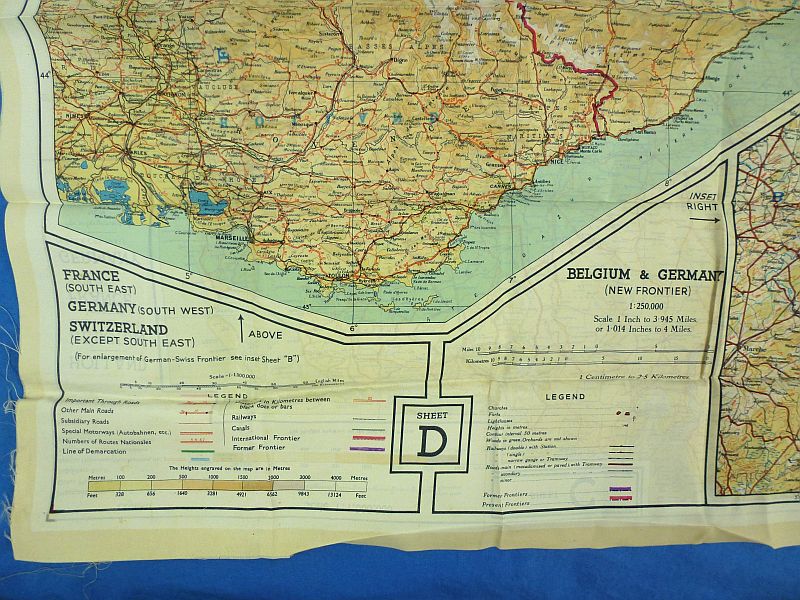
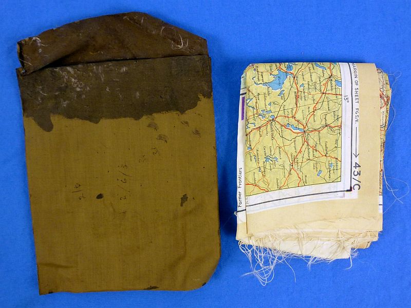
WWII British RAF Silk Map of Holland, Belgium and Germany with Carrying Pouch
$250.00
The silk map depicts areas of Holland, Belgium and Germany, and it is most closely associated with its issuance to the British paratroopers who were4 dropped into Holland in 1944 in Operation Market Garden. The map is approximately 28-1/2 inches by 28-3/4 inches. The map shows typical fold lines but it is complete, intact, and without damage. It is contained within its original waterproof carrying pouch labeled “MAPS ONLY”. Overall very good condition.