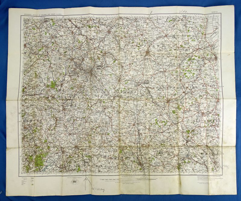
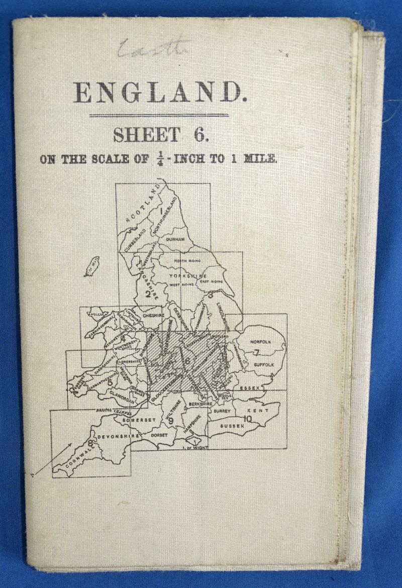
British Military 1913 Dated Map of a Portion of England
$50.00
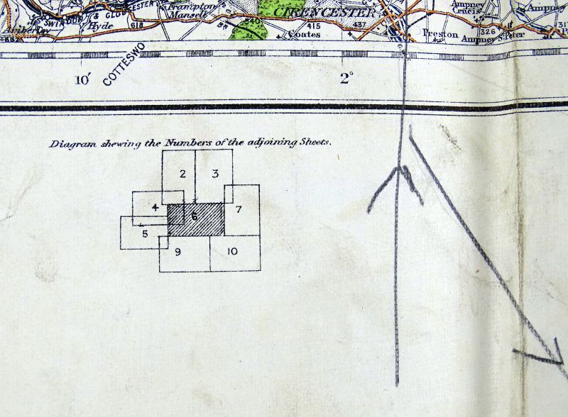
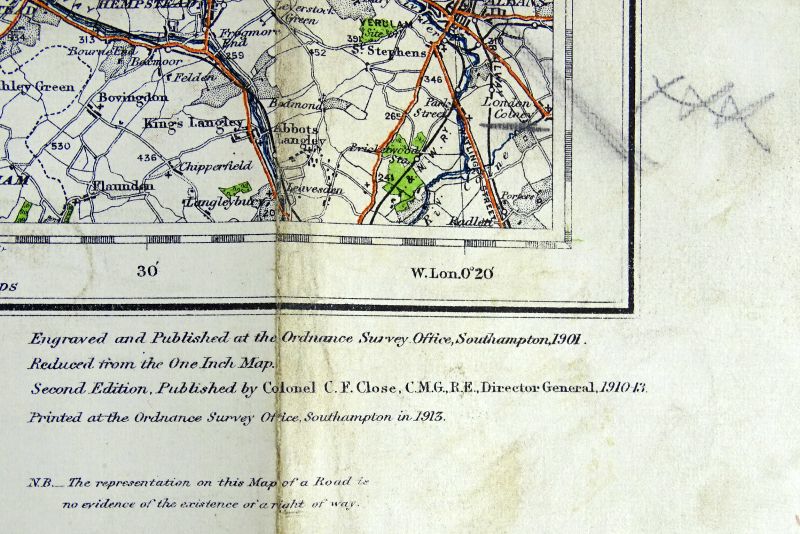
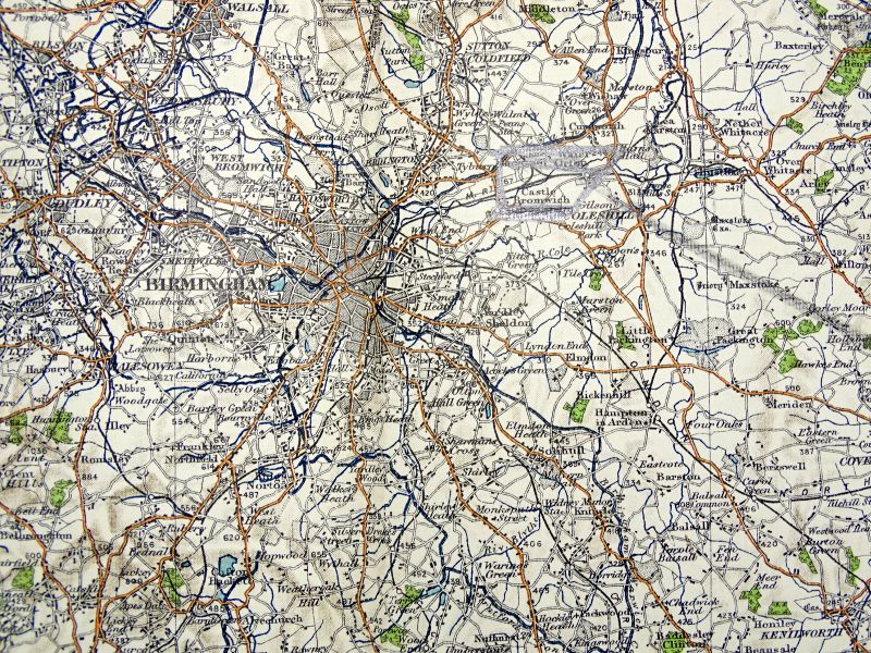
The map is printed on paper and it was laid on fabric to make it durable for use in the field. It is dated in 1913. The map covers a portion of England which includes Birmingham. The map measures approximately 4 inches by 6 1/2 inches when folded, and approximately 26 inches by 32 inches when open. Good condition, with some notations on it.
Item Number: 52073
Category: Militaria of Other Countries

